September 5 & 6, 1996:
|
|

|
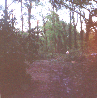
This is a road (paved with curbs) that is nearly impossible to see under the debris from damage trees. |

|
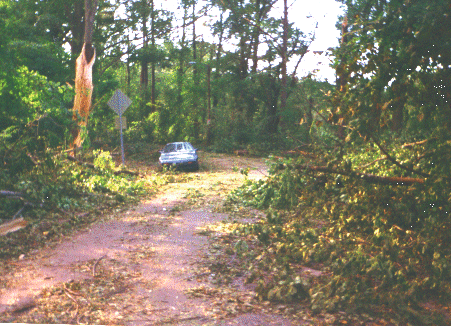
This is another section of the same street. It's wide enough for two lanes of traffic and a row of parked cars. Not with the tree and other debris in the way. |

|
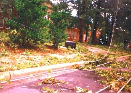
On Dixie Trail two sets of three phase power lines were down. These lines normally provide power to a large portion of west Raleigh. This view is in front of Fred Olds Elementary School which lost several large oak trees during the storm. |

|
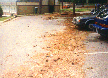
This is the flood line in a parking lot at Lake Johnson Park in southwest Raleigh. We're lucky the dam didn't break. Walnut Creek, which flows out of the lake, runs through the south side of downtown Raleigh. |
Go to the Next page.
|
All contents on this page, images, and HTML code Copyright © 2000 Robert S. Bodnar |